

Efficient Stormwater Network Representation Improves Urban Flood Modeling
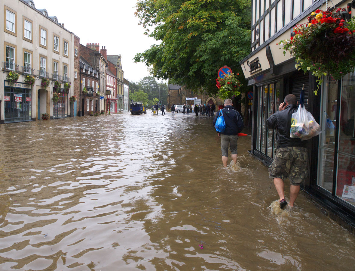
Flood waters in urban area. Image by John Dal | Accessed via Wikimedia Commons
New model provides valuable insights for optimizing flood mitigation in urban planning
The Science
Urban flooding poses a challenge for city management and planning, especially during heavy rainfall. Urban areas face increasing flood risks due to rapid development and extreme weather events. Accurately representing drainage networks’ influence on urban flood dynamics has been challenging. This is primarily due to the complex interactions of surface hydrological processes with the belowground urban stormwater networks (BUSNs). Existing large-scale models often neglect BUSNs due to data limitations and computational demands which reduces their prediction accuracy of flood peaks in highly developed areas.
The Impact
This research addresses this critical gap. The new approach leverages freely available data and a simplified representation of stormwater pipe networks, making it computationally efficient and physically robust. The results indicate that stormwater pipes exhibit threshold behaviors, meaning that stormwater pipes can effectively mitigate or eliminate small to medium floods, but not large events. This insight is valuable for hydrologists and urban planners working to optimize flood mitigation strategies. The modeling framework thus provides a valuable tool for urban flood management, such as optimizing stormwater pipe network design, and environmental change impact studies. The model’s efficiency also allows for long-term assessments of the drivers of urban flooding and could support research in urban hydrology, infrastructure planning, and disaster relief.
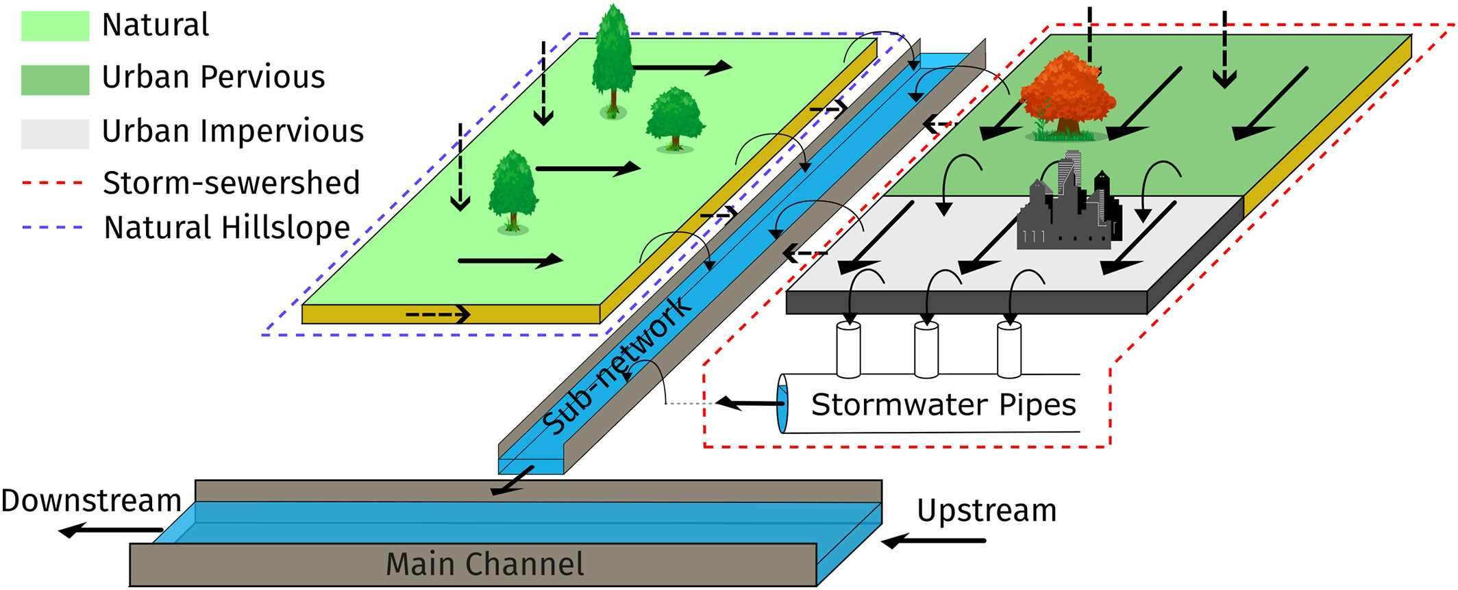
Figure 1. A new urban hydrologic modeling framework improves how stormwater pipe networks interact with different watershed types (top). Testing showed that the new framework accurately captures urban flood peaks with strong agreement between streamflow observations and simulated estimates (bottom; adapted from Chegini et al., 2025)
Summary
Researchers developed a new model which simplifies the BUSN representation but maintains physical realism, using an adaptive parameterization framework based on graph theory. Urban areas were first divided into hydrologically distinct, but interacting zones, which include natural areas, areas draining into pipes, smaller streams, and main rivers, allowing for efficient yet accurate flood predictions. Flood events were then modeled across different urban settings using nine representative watersheds (with imperviousness ranging from 0 – 64% and sizes between 24 – 302 km2) in the Houston metropolitan area in Texas, successfully simulating nearly two decades of flooding within seconds (Fig. 1). Validation of the model predictions with data from these watersheds showed high accuracy for large and small floods. The model also outperformed the National Water Model in simulating both flood peaks and seasonal water balance, demonstrating greater accuracy in urban settings while requiring fewer input parameters. The findings reveal that the effectiveness of BUSNs in flood reduction follows a nonlinear pattern, suggesting that infrastructure expansion alone may not always be the most effective mitigation strategy.
Publication
- Chegini, T., H. -Y. Li, Y. C. E. Yang, G. Blöschl and L. R. Leung. 2025. “A scale-adaptive urban hydrologic framework: Incorporating network-level storm drainage pipes representation.” Water Resources Research, 61, e2024WR037268. https://doi.org/10.1029/2024WR037268
Funding
- The University of Houston’s internal funds and the Sloan Foundation via the Houston Advanced Research Center supported this research. Support also came from the Department of Energy Office of Science’s Biological and Environmental Research program as part of the Earth System Model Development program area through the collaborative, multi‐program Integrated Coastal Modeling (ICoM) project.
Contact
- L. Ruby Leung, Pacific Northwest National Laboratory